
Welcome to Ballina Coast & Hinterland
Discover our unique natural wonderland and diverse cultural landscape. The Ballina Coast and Hinterland is home to 32km of pristine coastline, lush subtropical rainforests, untouched National Parks, diverse wildlife, quaint hinterland towns, stunning waterfalls and world class surf breaks.
Select towns on the map to discover more.
Newrybar
Newrybar is perfect for those who love their country escapes with a side of style. Discover local makers and curators, with unique shops packed with handcrafted, sustainable, and downright beautiful finds.
Discover more Back to Map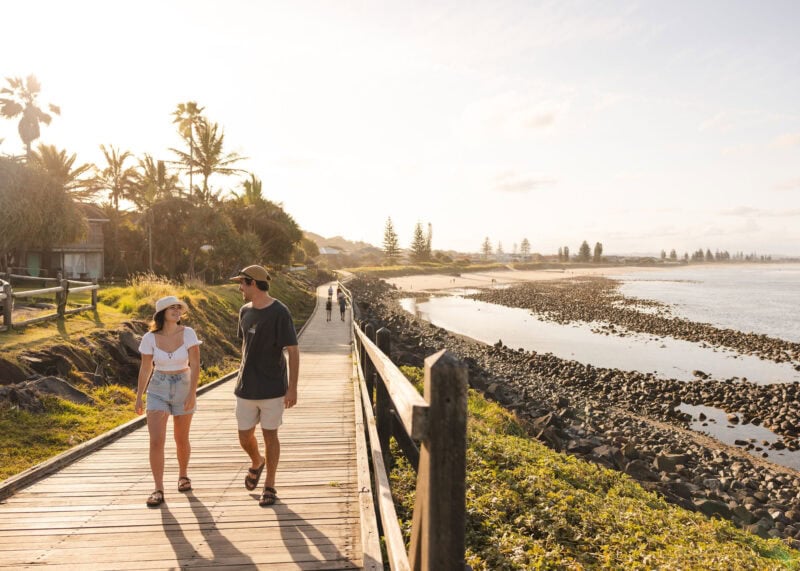
Lennox Head
Laid-back Lennox Head is a leisurely (and very scenic) 10 minute drive north of Ballina. It is a mecca among surfers and its famous right hand break - Lennox Point - is one of the top ten surf breaks in Australia.
Discover more Back to Map
Teven & Tintenbar
Teven and Tintenbar are charming hinterland hamlets just 10 minutes from Ballina
Discover more Back to Map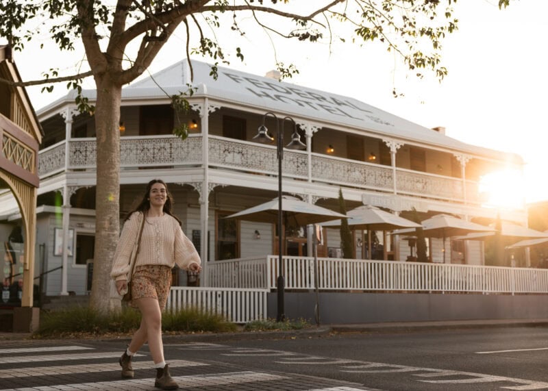
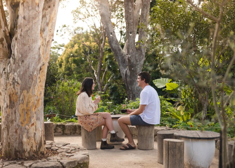
Alstonville & Wollongbar
Alstonville is a charming town surrounded by macadamia and avocado farms, pretty countryside and a friendly community. Nestles I the hinterland, halfway between Ballina and Lismore, it offers great cafes, a country pub in the heart of town and lovely gift shops.
Discover more Back to Map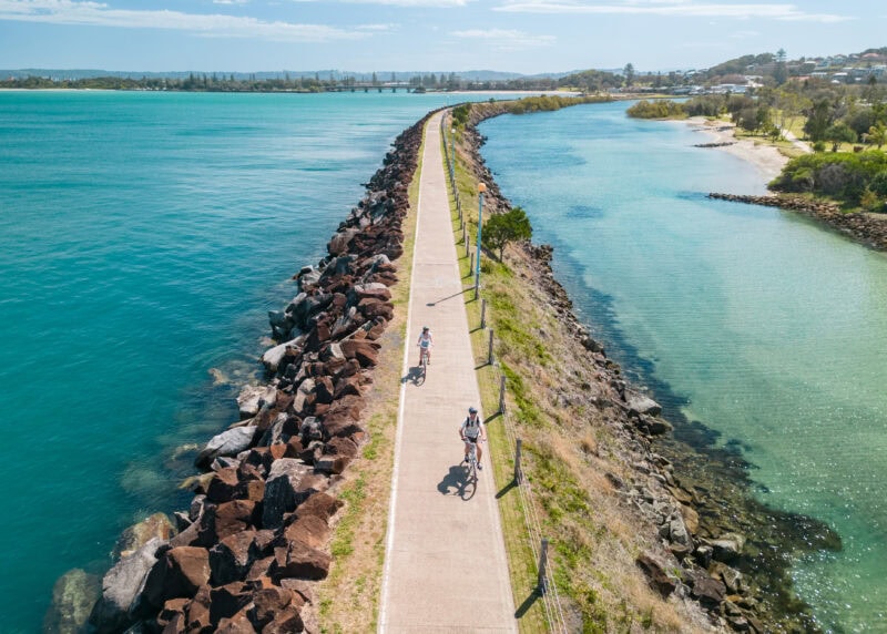
Ballina
Centred on an island at the mouth of the Richmond River, Ballina is the social and commercial hub of the region. The main street is lined with cafes, shops and picnic areas to relax by the river. East Ballina is the home to Ballina's calm waterways and pristine beaches.
Discover more Back to Map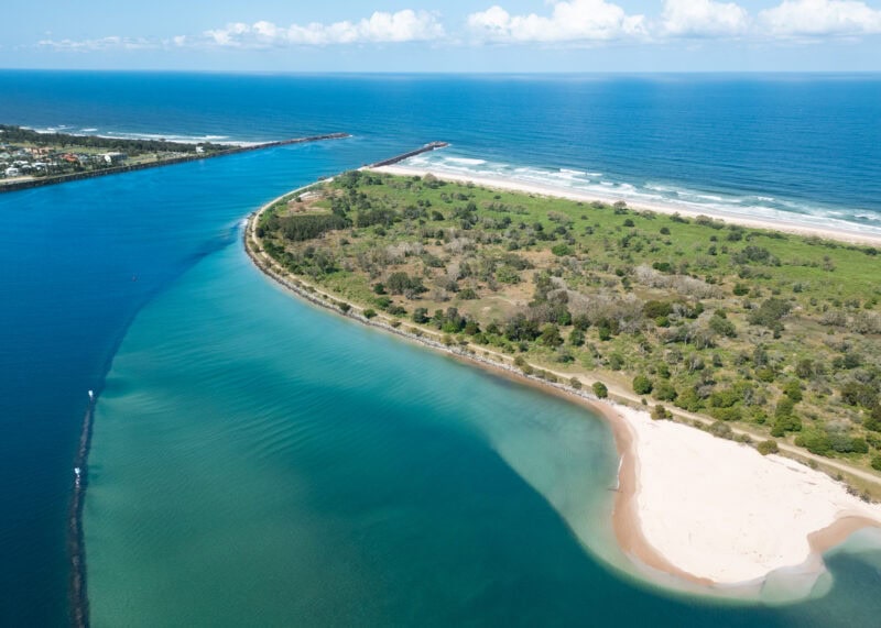
South Ballina
South Ballina is a tranquil coastal gem, known for its long, open beach, excellent fishing and natural beauty. Accessible from Ballina via the Burns Point Ferry or the Wardell exit on the highway, it’s the perfect location for a quiet camp spot, peaceful strolls along the break wall and birdwatching at Mobbs Bay. With sweeping views across the Richmond River and a rich cultural history, South Ballina offers a slower pace to reconnect with nature.
Discover more Back to Map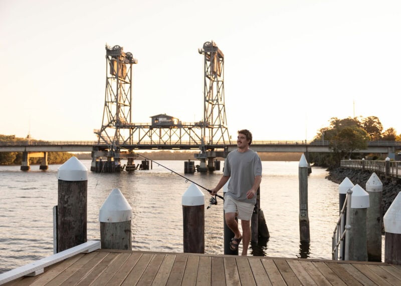
Wardell
Situated upstream on the picturesque Richmond River, Wardell is a serene retreat surrounded by rolling sugarcane fields. It’s the perfect starting point for your journey along Tourist Drive 28. Don’t leave without sampling a famous Wardell pie – a treat as warm and welcoming as the village itself!
Discover more Back to Map